North Texas Flood Watch Active As Severe Storms Loom
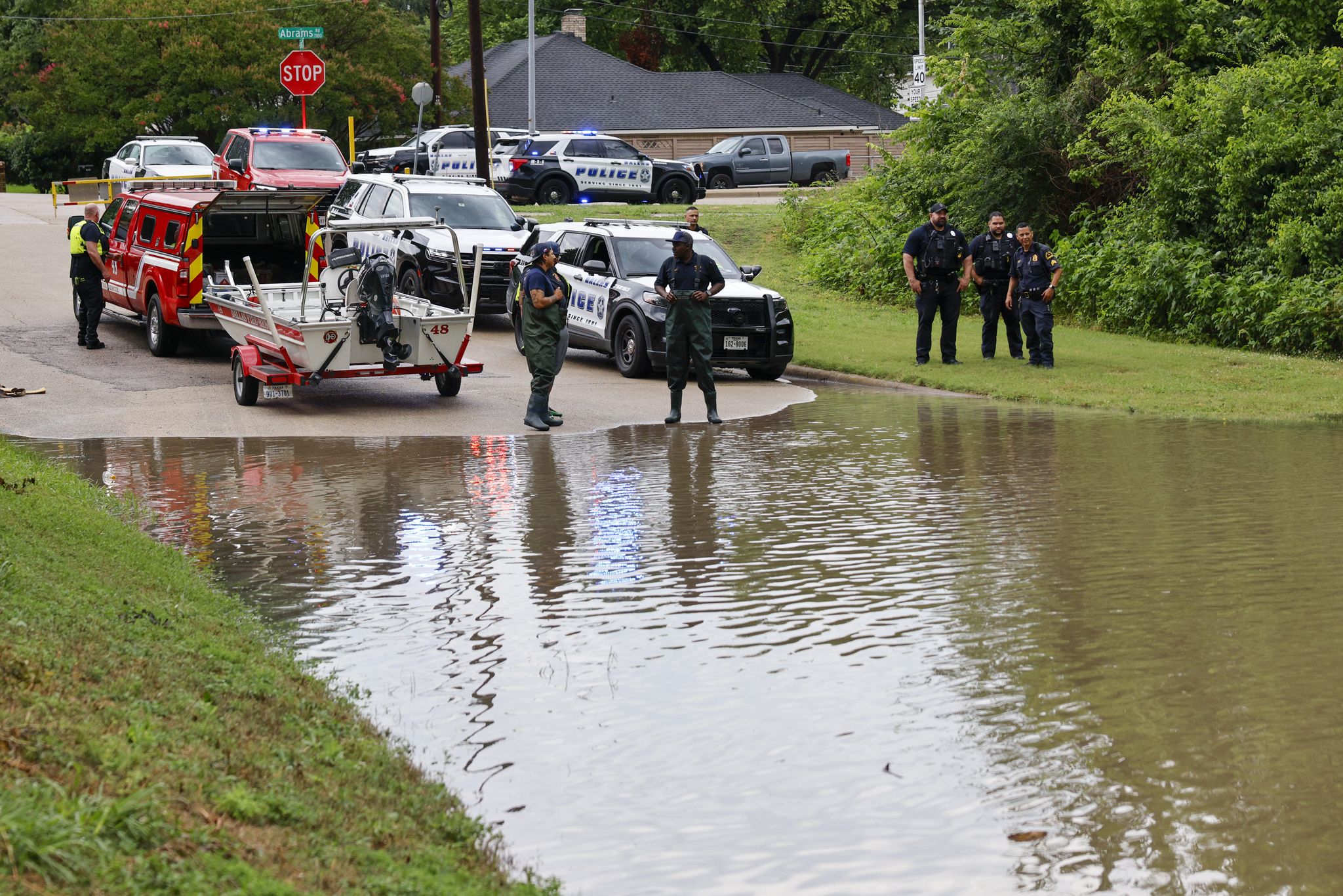
Storm Overview and Operational Timeline
Residents across the Dallas-Fort Worth metroplex face an imminent meteorological threat as the National Weather Service establishes a flood watch effective beginning at 4 p.m. Wednesday. This alert window remains active until 7 a.m. Friday, encompassing a multi-day period of hazardous weather that promises to test regional infrastructure and public safety protocols. The impending system introduces a complex array of dangers, including torrential rainfall, large hail, and wind gusts capable of reaching 35 miles per hour. Meteorologists emphasize that the convergence of these elements creates an environment ripe for rapid-onset flooding, requiring immediate attention from community members.
Meteorological Drivers and Rainfall Distribution
The atmospheric setup fueling this disturbance involves a significant influx of tropical moisture streaming into the continental interior. This humid air mass shifts the primary zone of flood danger from the arid Desert Southwest toward the Great Plains, directly targeting North Texas. According to forecasts, heavy precipitation is slated to commence mid-afternoon Wednesday and persist through the weekend, allowing ample time for soil saturation and surface runoff to escalate.
Rainfall accumulation projections reveal notable variability across the region. The central corridor of the Dallas-Fort Worth area anticipates cumulative totals ranging from two to four inches. However, topographic nuances and storm cell movement may drive localized surges up to seven inches in specific pockets. Such disparities underscore the importance of hyper-local monitoring, as areas receiving the upper limits of the forecast could experience considerable flood impacts regardless of broader regional averages.
Deciphering the Alert Hierarchy
Understanding the precise distinctions between weather alerts is paramount for appropriate public response. The current flood watch signifies that atmospheric conditions have aligned to support flooding scenarios. It functions as a proactive notification rather than a confirmation of inundation; flooding is possible but not yet certain. During this phase, authorities stress that residents must treat the alert as a preparation window. Individuals should review existing flood action plans, verify communication channels, and position themselves to act swiftly should conditions deteriorate.
As threats evolve, the alert hierarchy escalates. A flood advisory indicates that water levels have reached hazardous status, though they may not yet meet the threshold for a full warning. Advisories denote significant inconveniences and pose threats to life or property if individuals fail to exercise caution. The situation intensifies further with a flood warning, which is issued when flooding is imminent or already occurring. At this juncture, immediate action to protect personnel and assets becomes mandatory, including the avoidance of any submerged roadways or vulnerable structures.
The Lethality of Flash Floods
The most acute peril presented by this system lies within the realm of flash flooding. A flash flood warning triggers when rapid water rises are detected or predicted. These events characterize themselves by sudden onset and violent velocity, developing over timeframes measured in mere minutes to hours. The National Weather Service defines a flash flood as a sudden, violent inundation that demands instant reaction.
Critical to understanding flash flood dynamics is their deceptive nature. These floods can manifest in zones entirely devoid of direct rainfall overhead. Water from upstream drainage basins can converge into low-lying areas downstream, generating dangerous currents without a drop falling locally. Consequently, the directive for individuals receiving a flash flood warning is absolute: relocate to elevated terrain immediately. Navigating moving water remains one of the most lethal activities during severe storms, reinforcing the necessity of heeding safety advisories without hesitation.
Preparedness Measures and Public Safety
Civic engagement during the watch period focuses heavily on readiness and vigilance. Households are urged to audit their emergency protocols, ensuring that evacuation routes are identified and family communication strategies are established. Monitoring official updates via reliable sources remains essential to track potential upgrades from watches to warnings.
For motorists, the risks extend beyond personal vehicle safety to broader traffic hazards. The prevailing guidance emphasizes the mantra “Turn Around, Don’t Drown.” This principle reflects hard-learned lessons regarding the sheer force of moving water, which can sweep vehicles off roads with minimal depth. Drivers must exercise extreme restraint, avoiding known flood-prone corridors and refraining from attempting crossings when water levels obscure the roadway. Power outages resulting from wind gusts or hail may further complicate navigation, making pre-trip planning even more valuable.
Infrastructure and Regional Implications
The extended duration of the storm, stretching from Wednesday afternoon into early Friday, raises concerns regarding cumulative impacts on local infrastructure. Prolonged exposure to heavy rain can overwhelm drainage systems, particularly in urbanized areas where impervious surfaces accelerate runoff. The presence of hail and strong winds adds another layer of complexity, as debris from wind damage or hail strikes could obstruct culverts and ditches, exacerbating localized pooling.
As the storm system progresses, the interplay between forecast precision and public response will determine the severity of outcomes. The National Weather Service maintains continuous monitoring of the developing situation, and residents are directed to official safety portals for real-time product updates. The coming days demand respect for the elements, strict adherence to safety directives, and unwavering attention to evolving weather intelligence to ensure the community navigates the threat safely.
Source Reference (dallasnews.com): What’s the difference between a flood watch and warning? What to know ahead of Dallas-Fort Worth storms
Frequently Asked Questions (FAQ)
When is the flood watch in effect for the Dallas-Fort Worth area?
The flood watch begins at 4 p.m. on Wednesday and remains active until 7 a.m. on Friday.
What is the difference between a flood watch and a flood warning?
A flood watch indicates conditions are favorable for flooding, meaning it is possible but not certain. A flood warning means flooding is imminent or already occurring, requiring immediate action.
Can flash floods occur in areas that are not currently receiving rain?
Yes. Flash floods can develop rapidly in areas not immediately receiving rain due to water draining from upstream regions converging into low-lying areas.
{“@context”:”https://schema.org”,”@type”:”FAQPage”,”mainEntity”:[{“@type”:”Question”,”name”:”When is the flood watch in effect for the Dallas-Fort Worth area?”,”acceptedAnswer”:{“@type”:”Answer”,”text”:”The flood watch begins at 4 p.m. on Wednesday and remains active until 7 a.m. on Friday.”}},{“@type”:”Question”,”name”:”What is the difference between a flood watch and a flood warning?”,”acceptedAnswer”:{“@type”:”Answer”,”text”:”A flood watch indicates conditions are favorable for flooding, meaning it is possible but not certain. A flood warning means flooding is imminent or already occurring, requiring immediate action.”}},{“@type”:”Question”,”name”:”Can flash floods occur in areas that are not currently receiving rain?”,”acceptedAnswer”:{“@type”:”Answer”,”text”:”Yes. Flash floods can develop rapidly in areas not immediately receiving rain due to water draining from upstream regions converging into low-lying areas.”}}]}